Cet article est une ébauche concernant Dublin.
Vous pouvez partager vos connaissances en l’améliorant (comment ?) selon les recommandations des projets correspondants.
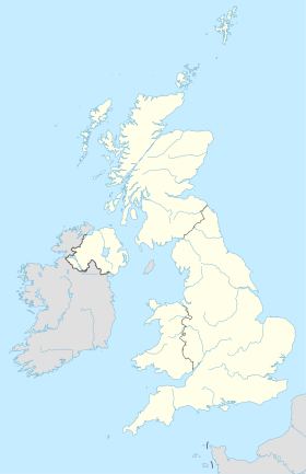
Localisation sur la carte du Royaume-Uni
Localisation sur la carte d’Irlande
modifier - modifier le code - modifier Wikidata
Ballyfermot est une ville de la banlieue de Dublin (Irlande).
Géographie
Elle se situe à 7 kilomètres de Dublin, au sud de Phoenix Park.
Histoire
Personnalités
Notes et références
Liens externes
Quartiers de Dublin, Irlande |
|---|
| Quartiers Nord | - Applewood
- Artane
- Ashtown
- Baldoyle
- Balgriffin
- Ballybough
- Ballyboughal
- Ballygall
- Ballymun
- Balrothery
- Bayside
- Beaumont
- Blanchardstown
- Brackenstown
- Broadstone
- Cabra
- Castleknock
- Chapelizod
- Clonee
- Clongriffin
- Clonsilla
- Clontarf
- Coolock
- Coolmine
- Corduff
- Damastown
- Darndale
- Dollymount
- Donabate
- Donaghmede
- Donnycarney
- Drumcondra
- East Wall
- Fairview
- Finglas (en)
- Garristown
- Glasnevin
- Grangegorman
- Harmonstown
- Holywell
- Howth
- Huntstown
- Kilmore
- Kilbarrack
- Killester
- Kinsealy
- Knocksedan
- Loughshinny
- Lusk
- Malahide
- Marino
- Mulhuddart
- Naul
- North Strand
- North Wall
- Oldtown
- Ongar
- Oxmantown
- Palmerstown
- Phibsborough
- Poppintree
- Portmarnock
- Portrane
- Point Village
- Priorswood
- Raheny
- Rathbeale
- Rolestown
- Rush
- Santry
- Sheriff Street
- Skerries
- Smithfield
- Spencer Dock
- Springhill
- Stoneybatter
- Summerhill
- Sutton
- Swords
- Tyrrelstown
- Whitehall
|
| Quartiers Sud | |
 Portail de Dublin


 Irlande


 Portail de Dublin


