Gundershoffen
| Gundershoffen | |||
| — Comună — | |||
 | |||
| |||
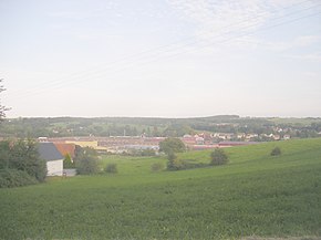
  Gundershoffen Gundershoffen (Franța) | |||
| Coordonate: 48°54.00′N 7°40.20′E ({{PAGENAME}}) / 48.90000°N 7.67000°E | |||
|---|---|---|---|
| Țară |  Franța Franța | ||
| Regiune | Grand Est | ||
| Departament | Bas-Rhin | ||
| Atestare |  | ||
| Suprafață[2] | |||
| - Total | 17,55 km² | ||
| Populație (2009[1]) | |||
| - Total | 3.465 locuitori | ||
| - Densitate | 197,44 loc./km² | ||
| Fus orar | UTC+1 | ||
| Cod poștal | 67110 | ||
| Cod INSEE | 67176 | ||
| Prezență online | |||
| site web oficial OpenStreetMap relation | |||
 | |||
Modifică date / text  | |||

Gundershoffen este o comună în departamentul Bas-Rhin, Franța. În avea o populație de 3.779 de locuitori.[4]
Note
Vezi și
| Control de autoritate |
|---|
 Acest articol despre Franța este un ciot. Puteți ajuta Wikipedia prin completarea lui!


