Comté de Cardston

Cet article est une ébauche concernant l’Alberta.
Vous pouvez partager vos connaissances en l’améliorant (comment ?) selon les recommandations des projets correspondants.
| Comté de Cardston | ||
 | ||
| Administration | ||
|---|---|---|
| Pays |  Canada Canada | |
| Province |  Alberta Alberta | |
| Région | Division No.3 | |
| Statut municipal | District municipal | |
| Constitution | ||
| Démographie | ||
| Population | 4 037 hab. (2006) | |
| Densité | 1,2 hab./km2 | |
| Géographie | ||
| Coordonnées | 49° 12′ 09″ nord, 113° 18′ 07″ ouest | |
| Superficie | 341 487 ha = 3 414,87 km2 | |
| Divers | ||
| Code géographique | 4803001 | |
| Localisation | ||
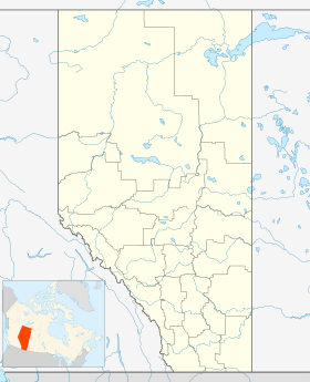
| Géolocalisation sur la carte : Alberta
| ||
| Liens | ||
| Site web | www.cardstoncounty.com | |
modifier  | ||

Le comté de Cardston (anglais : Cardston County) est un district municipal du sud-ouest l'Alberta, au Canada.
Communautés et localités
- Bourgs
- Cardston
- Magrath
- Villages
- Glenwood
- Hill Spring
- Hameaux
- Aetna
- Beazer
- Carway
- Del Bonita
- Kimball
- Leavitt
- Mountain View
- Spring Coulee
- Welling
- Welling Station
- Woolford
- Localités
- Boundary Creek
- Bradshaw
- Caldwell
- Colles
- Glenwoodville
- Hacke
- Hartleyville
- Jefferson
- Owendale
- Parkbend
- Raley
- Taylorville
- Twin River
- Whiskey Gap
Démographie
| 2001 | 2006 | 2011 | 2016 |
|---|---|---|---|
| 4 325 | 4 037 | 4 167 | 4 481 |
Sources : Statistiques Canada 2006[1] Statistiques Canada 2016[2]
Comtés et districts municipaux limitrophes
 | Willow Creek No 26 | Comté de Lethbridge, Lethbridge | | |
| Pincher Creek No 9 | N | Comté de Warner No 5 | ||
| O Comté de Cardston E | ||||
| S | ||||
| Improvement District No. 4 | Comté de Glacier (  Montana) Montana) |
Notes et références
 Portail de l’Alberta


