Turin-Aeritalia Airport
Airport in Piedmont, Italy
Location of airport in Piedmont


LIMA
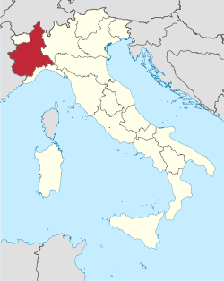
Location of Piedmont region in Italy
| Direction | Length | Surface | |
|---|---|---|---|
| m | ft | ||
| 28R/10L | 1,074 | 3,524 | Paved Asphalt |
| 28L/10R | 750 | 2,461 | Grass |
| 28/10 | 500 | 1,640 | Grass |
Turin-Aeritalia Airport (Italian: Aeroporto di Torino-Aeritalia, ICAO: LIMA)[1] also known as Edoardo Agnelli Airport, built in 1916, is the historical airport of Turin in the Piedmont region of northern Italy. It is located off Corso Marche, some 5 km (3 mi) to the west of the city centre.
Commercial flights moved to Turin Caselle Airport in 1953 and today Torino-Aeritalia is used for tourist flights and as a flying school, both for gliding and powered flight. There is also a helipad for the use of air ambulances.
One of the airport's buildings was redesigned in 1958 by the Torinese architect Carlo Mollino.


