Tipta La

Tiptala Pass
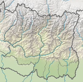
Location in Koshi
Show map of Koshi Province
Tiptala Pass
Tiptala Pass (Nepal)
Show map of NepalTiptala or Tipta-La is an international mountain pass between Nepal and China located on 5,118 metres (16,791 ft) to 5,200 metres (17,100 ft) of elevation.[1] [2] The pass is located around 20 kilometres (12 mi) North from the town Olangchungola. [2] Riu a Chinese settlement of Dinggyê County of Tibet is located about 35 kilometres (22 mi) far, the other side of the Tiptala pass.[3]
References
- v
- t
- e
Mountain passes of Nepal
- Amphu Labtsa pass
- Chiyo Bhanjyang
- Cho La, Nepal
- Ganja La
- Helambu
- Kang La Pass
- Kongma La
- Larkya La
- Lho La
- Nangpa La
- Nyalu Pass
- Renjo La
- Sherpani Col
- South Col
- Thorong La
- Tinkar
- Tipta La
 | This article about a location in Koshi Province of Nepal is a stub. You can help Wikipedia by expanding it. |
- v
- t
- e
 | This Tibet location article is a stub. You can help Wikipedia by expanding it. |
- v
- t
- e


