Negrine District
District in Tébessa Province, Algeria
Negrine District | |
|---|---|
District | |
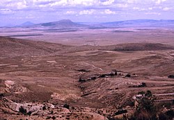 Negrine area | |
| Country |  Algeria Algeria |
| Province | Tébessa Province |
| Area | |
| • Total | 968 sq mi (2,507 km2) |
| Elevation | 1,024 ft (312 m) |
| • Density | 15/sq mi (5.9/km2) |
| Time zone | UTC+1 (CET) |
Negrine District is a district of Tébessa Province, Algeria. The district population in 1998 was 14815 inhabitants and has an elevation of 321m above sea level[1] and is located near the Chott el Ghasa.
The district is further divided into 2 municipalities:
- Negrine
- Ferkane
- v
- t
- e
Capital: Tébessa
- Bir El Ater
- Bir Mokadem
- Cheria
- El Aouïnet
- El Kouif
- El Ma Labiodh
- El Ogla
- Morsott
- Negrine
- Ouenza
- Oum Ali
- Tébessa

34°29′09″N 7°31′14″E / 34.4857°N 7.5205°E / 34.4857; 7.5205
References
- ^ Elevation of Negrine,Algeria Elevation Map, Topo, Contour .
 | This article about a location in Tébessa Province is a stub. You can help Wikipedia by expanding it. |
- v
- t
- e


