Mieming
Place in Tyrol, Austria

Coat of arms
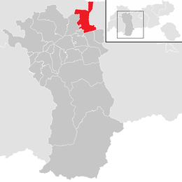
Location in the district
(2018-01-01)[2]
6414
Mieming (German pronunciation: [ˈmiə̯mɪŋ] ⓘ) is a municipality in the Imst district and is located 19 km east of Imst and 6 km west of Telfs. Main sources of income are agriculture and Summer tourism.
Population
| Year | Pop. | ±% |
|---|---|---|
| 1869 | 1,078 | — |
| 1880 | 1,026 | −4.8% |
| 1890 | 913 | −11.0% |
| 1900 | 899 | −1.5% |
| 1910 | 888 | −1.2% |
| 1923 | 963 | +8.4% |
| 1934 | 1,090 | +13.2% |
| 1939 | 1,105 | +1.4% |
| 1951 | 1,219 | +10.3% |
| 1961 | 1,274 | +4.5% |
| 1971 | 1,450 | +13.8% |
| 1981 | 1,771 | +22.1% |
| 1991 | 2,202 | +24.3% |
| 2001 | 2,881 | +30.8% |
| 2011 | 3,445 | +19.6% |
References
External links
Wikimedia Commons has media related to Mieming.
- v
- t
- e
Municipalities in the district of Imst
- Arzl im Pitztal
- Haiming
- Imst
- Imsterberg
- Jerzens
- Karres
- Karrösten
- Längenfeld
- Mieming
- Mils bei Imst
- Mötz
- Nassereith
- Obsteig
- Oetz
- Rietz
- Roppen
- Sankt Leonhard im Pitztal
- Sautens
- Silz
- Sölden
- Stams
- Tarrenz
- Umhausen
- Wenns
Authority control databases | |
|---|---|
| International |
|
| National |
|
 | This Tyrol location article is a stub. You can help Wikipedia by expanding it. |
- v
- t
- e


