Boivre
River in western France


• location
• coordinates
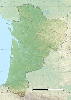
The Boivre (French pronunciation: [bwavʁ]) is a 46.1 km (28.6 mi) long river in western France, a left tributary of the Clain.[1] Its source is near Vasles, in the Deux-Sèvres department.
The Boivre flows through the following departments and towns:
- Deux-Sèvres: Vasles
- Vienne: Benassay, Lavausseau, La Chapelle-Montreuil, Montreuil-Bonnin, Béruges, Vouneuil-sous-Biard, Biard and Poitiers
It joins the Clain at Poitiers.
References
External links
- 100km of hiking trails in the valley of the Boivre - Association ValBoivre
Wikimedia Commons has media related to Boivre River.
- v
- t
- e
This article related to a river in France is a stub. You can help Wikipedia by expanding it. |
- v
- t
- e


