Angerberg
Place in Tyrol, Austria

Coat of arms
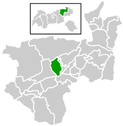
Location within Kufstein district
(2018-01-01)[2]
6320
Angerberg is a municipality in the Kufstein district of Austria. It is located 2.7 kilometres (1.7 mi) north of Wörgl and 14 kilometres (9 mi) southwest of Kufstein. The village was mentioned for the first time in documents in 1190.
Population
| Year | Pop. | ±% |
|---|---|---|
| 1869 | 665 | — |
| 1888 | 645 | −3.0% |
| 1900 | 614 | −4.8% |
| 1910 | 682 | +11.1% |
| 1923 | 711 | +4.3% |
| 1934 | 763 | +7.3% |
| 1951 | 840 | +10.1% |
| 1961 | 802 | −4.5% |
| 1971 | 884 | +10.2% |
| 1981 | 1,124 | +27.1% |
| 1991 | 1,377 | +22.5% |
| 2001 | 1,664 | +20.8% |
| 2011 | 1,739 | +4.5% |
References
External links
- Official website
Wikimedia Commons has media related to Angerberg.
- v
- t
- e
Municipalities in the district of Kufstein
- Alpbach
- Angath
- Angerberg
- Bad Häring
- Brandenberg
- Breitenbach am Inn
- Brixlegg
- Ebbs
- Ellmau
- Erl
- Kirchbichl
- Kramsach
- Kufstein
- Kundl
- Langkampfen
- Mariastein
- Münster
- Niederndorf
- Niederndorferberg
- Radfeld
- Rattenberg
- Reith im Alpbachtal
- Rettenschöss
- Scheffau am Wilden Kaiser
- Schwoich
- Söll
- Thiersee
- Walchsee
- Wildschönau
- Wörgl
Authority control databases | |
|---|---|
| International |
|
| National |
|
 | This Tyrol location article is a stub. You can help Wikipedia by expanding it. |
- v
- t
- e


